


, Limited Series [TV-MA] (6/10)")


")
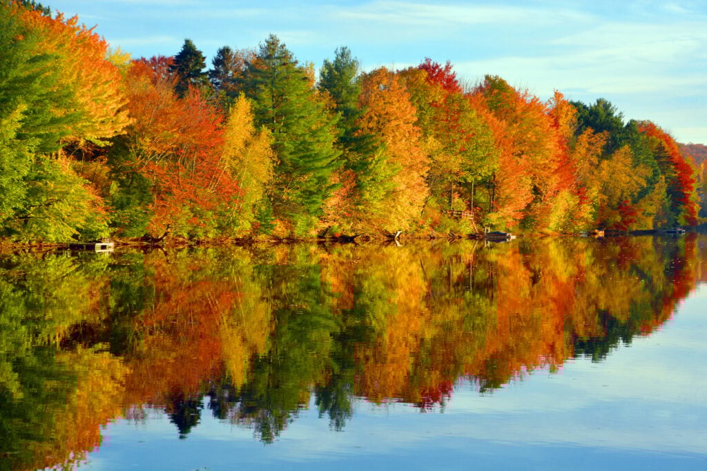
Did you know there’s a way to check if fall colours have arrived around Ontario? No need to make the drive to a park in hopes that the leaves have changed — you can take a look before you go, thanks to a handy map by Ontario Parks.
How it works
First, head to the Fall Colours page by Ontario Parks.
Here you’ll see a map with different coloured leaves scattered around. There’s also a colour guide on the right-hand side.
The colour guide shows where the trees are colour-wise in that region, with red meaning the fall colours are peaking.
If you click the area you’re interested in, it will also give you a percentage of how far along the leaves are in their colour change and the percentage of leaves that have fallen.
For a more in-depth look, you can scroll down and read more about each park, including when the fall colour change was last reported on and the best viewing spot for fall colours in that specific park — handy!
Best parks for fall colours now
While it’s still early in the season and this is subject to change, Mikisew Provincial Park is currently moving along the fastest, according to the map.
The map shows the leaves have progressed 30 per cent of the way, the most of any other park.
“The whole park allows for an immersive experience of the beautiful fall colours at Mikisew: the disc golf course, for example, or the Beaver Meadow and Maple Canyon trails,” shares Ontario Parks.
Be sure to use this fall colours map, Ontario.
Recent Posts:
This Ontario town is the most historic in the province
Justin Bieber was spotted doing karaoke at an Ontario bar


