


![28th Sep: Demon Slayer: Kimetsu no Yaiba Infinity Castle I (2025), 2hr 34m [R] (6/10)](https://occ-0-953-1001.1.nflxso.net/dnm/api/v6/0Qzqdxw-HG1AiOKLWWPsFOUDA2E/AAAABRanN6-DaPnnpdRTOWUrc0MmlFqQhPAT7Lo_X0ixgbKwTVzcLlKQAtYL8EHYZP8omuCfXbNI_Ldt5Ln0-6caicPDfVFBOHuC8fVCE-flArnghBwAeyhIij0E156EGL_sYdAqVRNzJYaN3u4fiEAKdr3rhsV1NLItfciUkrOabg0b3Q.jpg?r=07a "28th Sep: Demon Slayer: Kimetsu no Yaiba Infinity Castle I (2025), 2hr 34m [R] (6/10)")


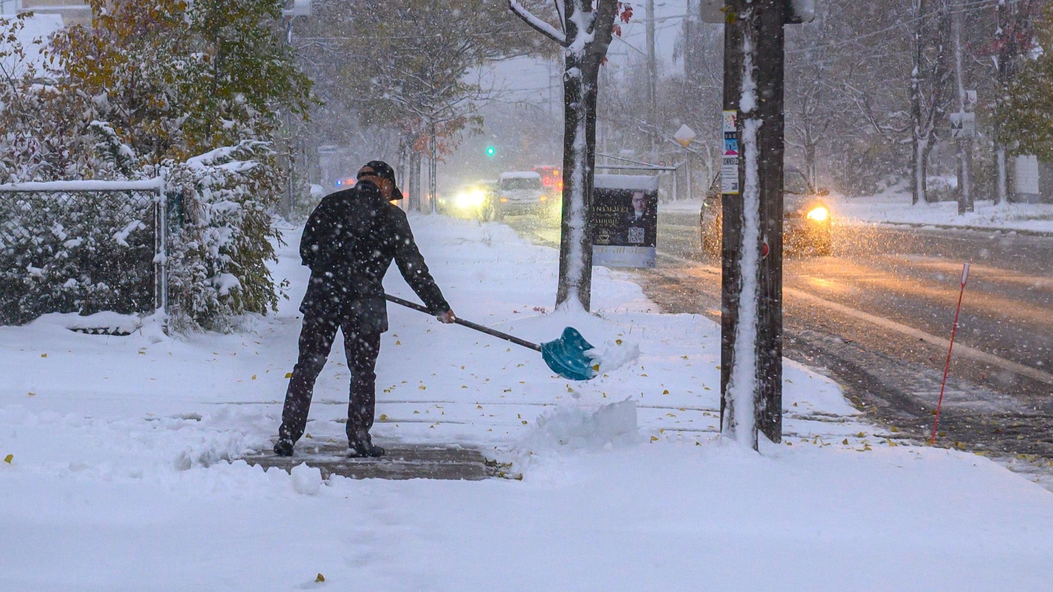


With fall now in full swing and temperatures steadily dwindling, it won’t be too long before parts of Ontario get their first taste of winter, but exactly how many more weeks do we have before the first snowflakes begin to drop?
The timeline for the first snowfall will vary significantly depending on where you live in the province, but recent weather models suggest that some communities (particularly in northern and central Ontario) could be just two weeks away from seeing their first flakes of the season, with some areas potentially seeing flurries by Oct. 8.
Luckily for southern Ontario, there will be lots of time to enjoy the fall weather.
You know winter isn’t far away when models start to show snow ❄️
10+ days out so take with a grain of salt but some across Southern #Ontario are just several weeks away from seeing the first flakes of the season#OnWX #ONStorm pic.twitter.com/DFUJVoa4Sp
— WxOntario (@WxOntario1) September 28, 2026
The region has been treated to a relatively mild and dry stretch of weather over the past week, and current forecasts suggest that southern Ontario is still several weeks away from any meaningful snowfall. That being said, there’s one major climate pattern that could influence when we get our first taste of winter this year.
According to an update from the World Meteorological Organization (WMO) earlier this month, a “supersized” El Niño” is now firmly established and is expected to intensify into a “very strong event” over the next few months. The organization added that there’s a 100 per cent likelihood that the event will persist through February 2027.
El Niño is a natural climate phenomenon that’s characterized by unusually warm ocean surface temperatures in the central and eastern equatorial Pacific, typically occurring every two to seven years and lasting between nine and 12 months.
Its effects can be felt thousands of kilometres away, including here in Ontario, as the climate pattern alters global atmospheric circulation and shifts temperature and precipitation patterns worldwide.
Sea surface temperatures across the central-eastern equatorial Pacific have already been recorded as being above average, and the WMO forecasts through November 2026 show an increased likelihood of above-normal temperatures for most land areas.
Although El Niño is often associated with warmer winters across Canada, its effects on fall weather can be quite different, especially in Ontario.
As The Weather Network explains, during El Niño falls, “A pronounced trough normally settles over Ontario, while a more dominant ridge covers the upper West Coast during these autumn months. That means cooler weather mostly in the east and warmer weather in the west, with the most extreme cold and warmth staying in the northern parts of Canada.”
Over the past 75 years, there have been seven strong El Niño patterns during the fall, with the most recent occurring back in 2025.
According to The Weather Network, temperature data collected during strong El Niño falls were below the 1950-2026 average for the season in the GTA, and October saw the biggest difference, with mean temperatures averaging 1.3 C below normal.
With temperatures slightly below average during this period, winter could arrive sooner than expected in parts of southern Ontario. In Toronto, the average date for the first snowfall of at least 0.2 cm is Nov. 11, but during strong El Niño years, the date moves up to Nov. 3, eight days earlier.
Still, an earlier first snowfall doesn’t exactly mean a snowier winter. The cooler pattern that typically develops in Ontario during strong El Niño autumns actually tends to break by December, ushering in what The Weather Network describes as a “late onset” to winter.
In Toronto, December temperatures during strong El Niño years have averaged 2.6 C warmer than usual.
Looking at precipitation, historical records show an almost equal number of years with precipitation amounts above and below seasonal averages during El Niño events. Overall, rainfall tends to be slightly higher and snowfall slightly lower, but there isn’t a consistent trend.
For Toronto, El Niño falls have historically been about four per cent rainier and 11 per cent less snowy.
So, while southern Ontario could get its first taste of snow a bit earlier than usual this year, that doesn’t mean the region will experience a winter with greater precipitation. If anything, the current El Niño pattern could ultimately mean a milder winter once the season officially gets underway.
Recent posts:
5 spots in Canada with sweet National Coffee Day specials
Toronto has a new nightlife lounge hidden inside a century-old substation