




![2nd Oct: Midsommar (2019), 2hr 27m [R] – Streaming Again (6.55/10)](https://occ-0-937-2706.1.nflxso.net/dnm/api/v6/0Qzqdxw-HG1AiOKLWWPsFOUDA2E/AAAABR4MeEsx9643j5lHql0WQM8lMdGU_oQBDQAJ6BgG9HlMzcvpa4ITeXYbNZqXiaBen_XvnbFFWE-ahDEz3yIcGxsrfFjUODKX4ed3.jpg?r=20e "2nd Oct: Midsommar (2019), 2hr 27m [R] – Streaming Again (6.55/10)")
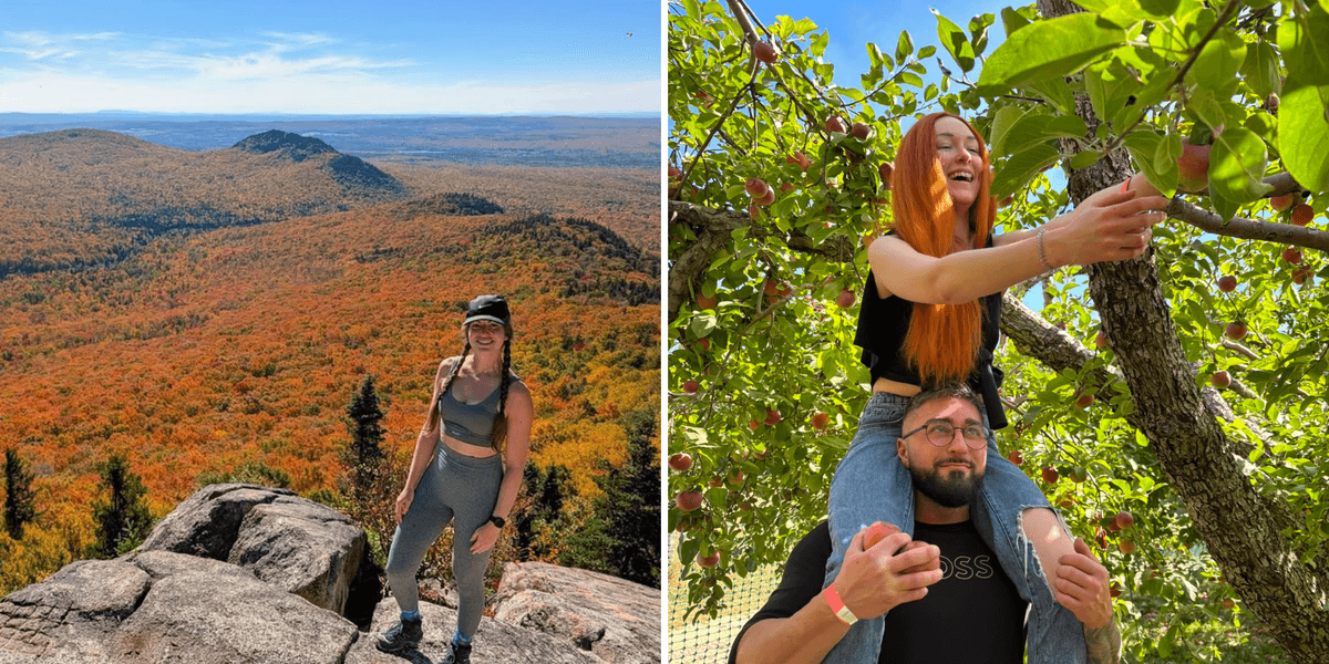



The Moki Tunnel on the Forgotten World HighwayMark Richardson/The Globe and Mail
You can’t ignore a road that calls itself the “Forgotten World Highway.” I saw it on a map of New Zealand’s North Island while plotting a route from Auckland in the north to Wellington in the south. It was a squiggly line, and it pulled me in immediately. Jurassic Park. Indiana Jones. It had to be driven.
The road doesn’t actually run between those cities. It doesn’t even go north-south, but instead cuts across the middle of the island for about 150 kilometres of twists and turns, over high saddles and through a deep gorge. It was partly gravel until recently. Halfway along, it passes through the sleepy Republic of Whangamomona. Now that’s definitely worth a road trip.
On the Forgotten World Highway, west of Whangamomona, N.Z.Mark Richardson/The Globe and Mail
Mount Ruapehu in Tongariro National Park, seen from the east end of the highway.Mark Richardson/The Globe and Mail
Rural New Zealand has been a hardscrabble country ever since its settlement by the British in the 1800s. The first stretch of road was laid in the 1880s, but it was rough going, and the coach service took at least eight hours to cover 80 kilometres. Early farmers were so frustrated that, in 1903, they invited the prime minister to a banquet lunch to plead their case. After the meal, presumably still frustrated, they tipped him out of his buggy and into a deep, muddy boghole. They made their point and the road was slowly improved, finally opening all the way between Stratford and Taumarunui in 1945.
A daily driver in a tight spot: Touring Kiwi country in the Mazda CX-90
All was fine – and still sleepy – until 1989, when local government reforms moved the community into a new political region, which residents didn’t like.
“The locals got up in arms and they went and had a few beers, and someone said, ‘Let’s form a republic’,” said Richard Pratt. “They also needed to name the road, so it became the Forgotten World Highway, and with two strokes of genius, they put this place on the international map.”
Richard Pratt, then-owner of the Whangamomona Hotel.Mark Richardson/The Globe and Mail
The Whangamomona HotelMark Richardson/The Globe and Mail
Pratt was the owner of the Whangamomona Hotel when I spoke with him, though he and his wife, Vicki, recently sold the place. On any given day during the drier summer months, the hotel hosts car clubs and motorcycle groups – the narrow road is both beautiful and challenging to drive, with constant hairpin curves, though it’s easier now that it has been fully paved since 2025.
“There’s been an increase in international visitors since then, without a doubt,” said Pratt. “Kiwis are pretty comfortable with [driving on] gravel, and Canadians, too, but other internationals – not so much. They’re starting to come now, though. From the end of January, it goes nutty for the next three months.”
The western end of the Forgotten World Highway, in Stratford, N.Z.Mark Richardson/The Globe and Mail
On the Forgotten World Highway, near Strathmore, N.Z.Mark Richardson/The Globe and Mail
The road is officially State Highway 43, and I drove it from west to east in a Mazda CX-90, though the direction doesn’t really matter. Each end of the route has a snow-capped mountain in the distance. The road rarely stops twisting, but my passengers in the back seat didn’t feel nauseous; my wife, in the front passenger seat, was there to make sure I stuck to the speed limit.
Whangamomona is the only community along the route and the hotel is the only place to stay that’s not a farmer’s bed-and-breakfast or an Airbnb. It can sleep up to 45 people and serve lunches to 150. Pratt says it’s usually fully booked for those summer months, but the rest of the time – not so much. The area can get more than 2,500 millimetres of rain in a wet year, which makes the road lush but torturous.
“It is what it is, you know?” said farmer John Herlihy, stopping off for a pint at the hotel’s bar. His pickup truck was parked outside with a cow in the back. “People in the big cities take an hour to get to work every day. We go into town once or twice a week. From here [to Stratford, at the west end of the highway], it’s 60 Ks and it takes an hour, right? Some of the locals can do it in 40 minutes, but it’s a slow road and why be in a hurry?”
John Herlihy, president of the Republic of Whangamomona.Mark Richardson/The Globe and Mail
Whangamomona, N.Z.Mark Richardson/The Globe and Mail
Herlihy is not just a farmer – he’s also the president of the Republic of Whangamomona, population maybe 100. The community declared its independence from New Zealand in 1989, though New Zealand has yet to recognize this. Being president is an official title and Herlihy has held the office since 2017. During a past election, a sheep named Eunice stood against him, but Herlihy admits to kidnapping her the night before. Billy Gumboot the Goat and Tai the Poodle previously held the office, but both left after assassination attempts.
The highway east of Whangamomona threads its way over more high saddles and through the Tangarakau Gorge, with drops of up to 60 metres down to the river. Its chief surveyor is buried here after dying in the bush from peritonitis in 1893. There are many short stretches where the narrow road is single-file only, but it eventually opens out to green rolling hills and lavender farms.
The site of Joshua Morgan’s grave (first surveyor) in the Tangarakau Gorge.Mark Richardson/The Globe and Mail
The river at the bottom of the Tangarakau Gorge.Mark Richardson/The Globe and Mail
Lavender farm near Taumarunui, N.Z., at the east end of the highway.Mark Richardson/The Globe and Mail
A police poster at the hotel warns motorcyclists of hazards and advises riders to look ahead through corners. It’s similar to the Tail of the Dragon, a stretch of U.S. Highway 129 along the Tennessee-North Carolina border. Enthusiasts flock there just to tackle the twisting asphalt, which features 318 curves over an 18-kilometre stretch. Photographers stake out corners to take photos of leaned-over riders, which they post online to sell later to those visitors. The Tree of Shame stands at the south end of the Dragon, its branches draped in pieces of broken motorcycle from crashes that occur almost daily.
Canada does not have an equivalent public road that attracts international tourists solely for the pleasure of a challenging drive. The closest approximation might be British Columbia’s Highway 4 across Vancouver Island, between Port Alberni and Tofino, but RV traffic and strict enforcement ensure speeds are safely slowed along that narrow road through the giant trees. It’s similar in New Zealand, where there are many curving and beautiful highways, but they lead to popular destinations and are more heavily trafficked.
There are not enough vehicles on the Forgotten World Highway to do that, and locals like Herlihy are just fine with it. They’re happy to welcome tourists – just not too many of them. After all, the area only got its first cellphone tower a couple of years ago, and Herlihy is still suspicious of it.
“We didn’t ask for it,” he said, “but they stuck it in anyway. It is what it is, right?”
The CX-90 at the lavender farm near Taumarunui, N.Z.Mark Richardson/The Globe and Mail
David and Robin Brushey of Huntsville, Ont., in the back of the Mazda CX-90.Mark Richardson/The Globe and Mail